
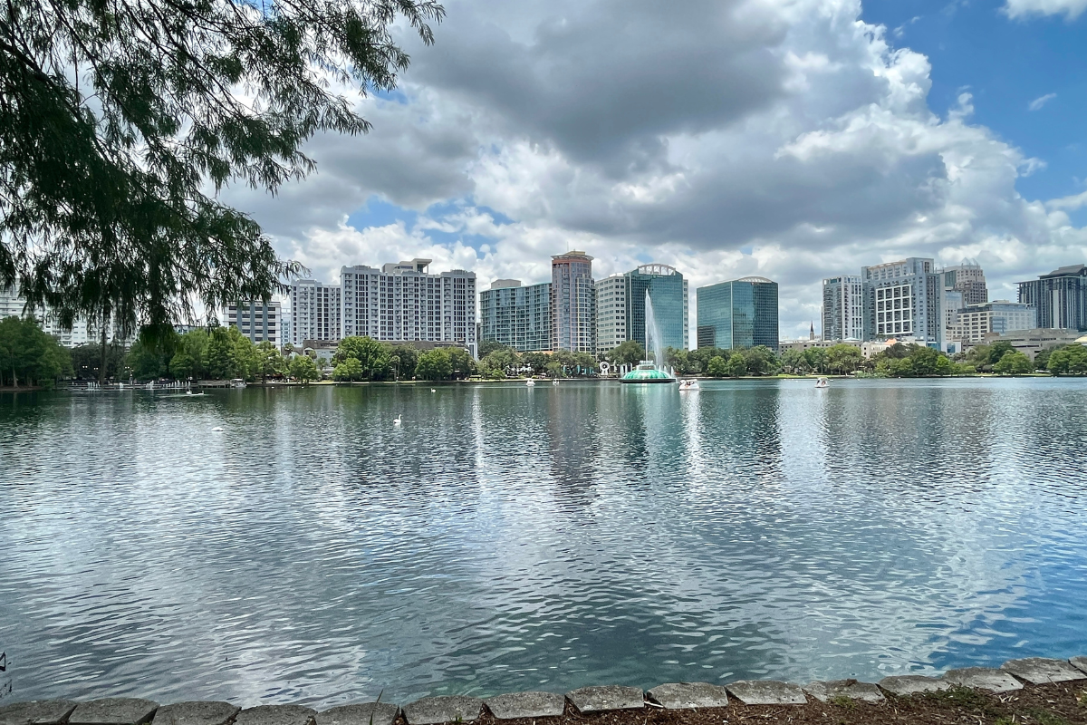
Orlando on Weather Alert: NWS Warns of Storms and Rip Currents Amid Astronomical High Tides
As the new week rolls in, the skies over Orlando suggest residents and visitors alike brace for typical Floridian summer unpredictability, with a blend of sun, storms, and uneasy seas. As detailed by the National Weather Service Melbourne, FL, just this early morning, forecasters painted a picture of the upcoming week's weather, noting, "Scattered showers and storms are forecast this week." At the same time, it warns that "a high risk of rip currents exists at area beaches" and advises against optimistic boating plans due to "poor to hazardous boating conditions."
Today's outlook is that isolated convective activity has meandered through Osceola County and offshore Cape Canaveral beneath mostly quiet skies. Yet, the tranquility is deceptive, with the area facing a Coastal Flood Advisory amid astronomical high tides pushing the waters higher than their usual cycle, according to the forecast discussion. The boundary layer across Florida, playing house to a drier band of air, particularly nestled between Cape Canaveral and Lake Okeechobee, spells a gradient of moisture catalyzing the north's scattering storms—some stirring with the potential of lightning, gusting winds, and heavy rainfall.
Marine conditions are set to retain their tempestuous state, with long period onshore swell from PTC8 fostering heights up to seven feet; small craft advisories thus remain firmly in place for offshore seas and now encompass nearshore Volusia and Brevard counties. These swells also collude with the tides to create an unusually high risk for rip currents that imperil even the most seasoned swimmers, with seas not expected to settle significantly until Wednesday, when they reduce to more manageable 3-4 feet waves.
The National Weather Service's hydrology update emphasizes the persistent moderate flood stage of the Saint Johns River near Astor, while areas southward observe a formidable rise. The lingering threat of additional rainfall could tilt the precarious balance, nudging river levels further upward and confirming concerns for residents with properties kissing the riverbank. Even aviation proves not immune to weather's whims, the 06Z TAFs indicating vigilance for reduced visibilities caused by potential fog or stray clouds blurring the immediate backdrop to Orlando's usually clear blue skies.
Welcome to Billionaire Club Co LLC, your gateway to a brand-new social media experience! Sign up today and dive into over 10,000 fresh daily articles and videos curated just for your enjoyment. Enjoy the ad free experience, unlimited content interactions, and get that coveted blue check verification—all for just $1 a month!
Account Frozen
Your account is frozen. You can still view content but cannot interact with it.
Please go to your settings to update your account status.
Open Profile Settings