
Weather Now: More sunshine today with a spot shower
Good morning! We're going to have another nice day with sunshine. There could be a brief shower or two in the area in the afternoon, but most of the day will be dry. We'll have a better chance for showers/'tstorms tomorrow. We're also watching Ernesto in the tropics...more on the tropics and impacts to us from Ernesto below.
Did you catch the smoky sunrise this morning? Wildfire smoke from western Canada wildfires is drifting through our skies.
Smoky sunrise this morning! Smoke from western Canada wildfires are in our skies again. The skies should turn bluer this afternoon. pic.twitter.com/4PLygQOhi6— T.J. Del Santo ⚡🔭 (@tjdelsanto) August 14, 2024
INTERACTIVE RADAR: Live Pinpoint Weather 12 Radar »
| | FLIGHT TRACKER
TODAY
Temperatures this morning will quickly rise out of the 60s and through the 70s, hitting the 80s this afternoon.
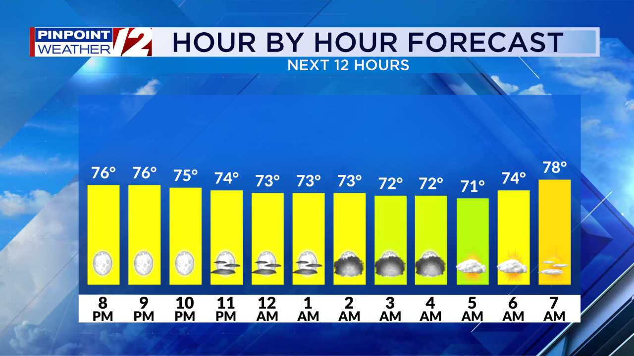
Hour by Hour // A close look at the upcoming conditions »
Highs should be around 83 in the Providence area. The beaches today will have highs in the low 80s.
Most of the day will be dry, but a spot shower is possible in the afternoon. Remember, you can always keep an eye on the weather with the interactive radar on our Pinpoint Weather 12 app. Download it today, if you haven't already.
| | BEACH AND BOATING FORECASTS
TONIGHT
The weather looks quiet tonight with lows in the low 60s with mainly clear skies.
TOMORROW
We'll start out dry on Thursday, but scattered showers and t'storms are expected in the afternoon, some with locally heavy rainfall, lightning and small hail.
Highs tomorrow will be in the low 80s.
LOOKING AHEAD
Friday will be quieter and drier with highs in the low 80s.
TROPICS
Ernesto is impacting Puerto Rico with heavy rain this morning. It'll likely form into a hurricane today and continue to to move northward.
Ernesto will come close to Bermuda over the weekend, while churning up the ocean off our coast. The possible Category 2 or 3 hurricane is expected to stay far offshore of New England.
Large waves will start arriving by late Saturday and continue to pound our coast through Sunday and Monday. Dangerous rip currents are expected at area beaches during that time, as well.
-Meteorologist T.J. Del Santo
T.J. Del Santo ([email protected]) is the weekday morning and noon meteorologist for 12 News. Connect with him on Facebook and Twitter and Instagram and Threads.
______________________________________________________________________________________________________
Pinpoint Weather 12 LinksDetailed 7-Day Forecast | Weather Now | Radar | Hour-by-Hour | Ocean, Bay & Beach | Solar Report | Pinpoint Traffic | Flight Tracker | Active Weather Alerts | Closings & Delays | Power Outages | Get the Weather App
Welcome to Billionaire Club Co LLC, your gateway to a brand-new social media experience! Sign up today and dive into over 10,000 fresh daily articles and videos curated just for your enjoyment. Enjoy the ad free experience, unlimited content interactions, and get that coveted blue check verification—all for just $1 a month!
Account Frozen
Your account is frozen. You can still view content but cannot interact with it.
Please go to your settings to update your account status.
Open Profile Settings